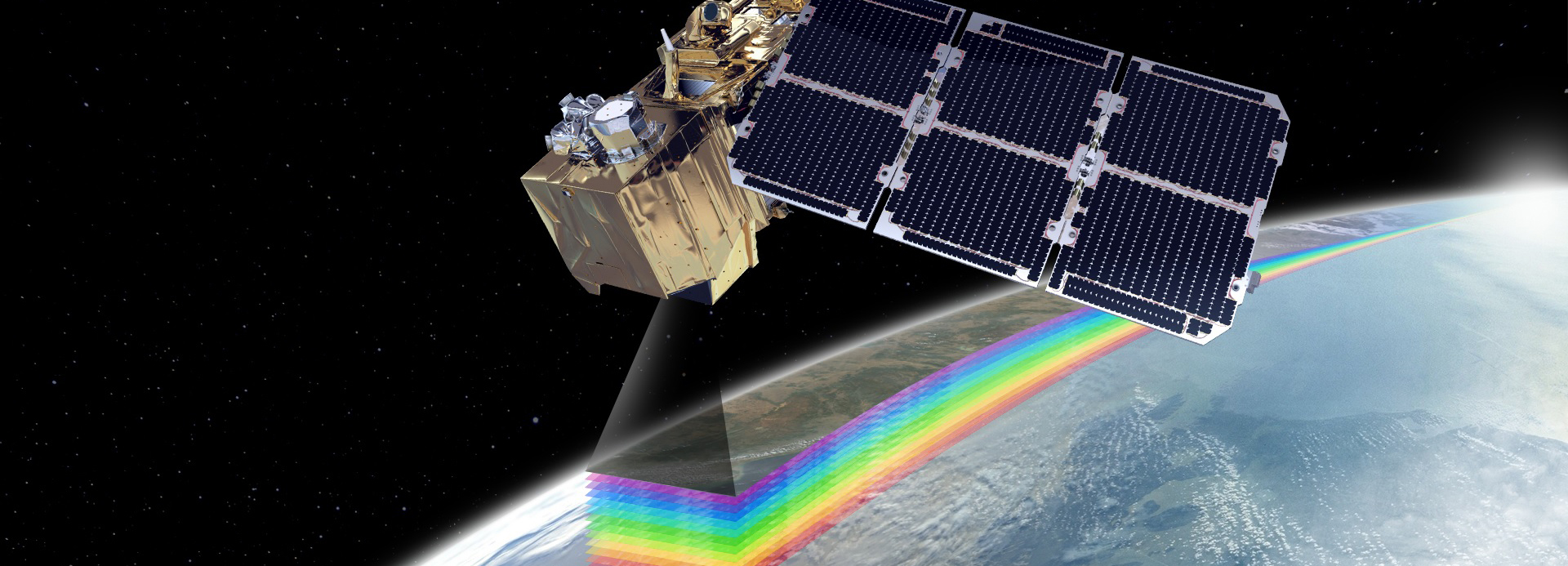
A curated list of useful resources in Remote Sensing / Earth Observation
PhD in Biodiversity, Genetics and Evolution, 2018
Faculty of Sciences - University of Porto
MSc in Environmental Sciences and Technology, 2010
Faculty of Sciences - University of Porto
A curated list of useful resources in Remote Sensing / Earth Observation
R packages developed for ecological, remote sensing, and geospatial analysis
A R package for running Object-based Image Analysis and optimizing image segmentation parameters.
R package for handling thermal and RGB images from FLIR cameras.
“Classical” object-based image segmentation (OBIA) for geospatial data.
R toolkit for raster-based connectivity analyses using Species Distribution Models as inputs.
Open data products released alongside research and projects
Future CHELSA v2.1 BIOCLIM+ bioclimatic and environmental predictor datasets for species distribution model projections under SSP1-2.6, SSP3-7.0, and SSP5-8.5 for 2041-2070 and 2071-2100. Released under the OneSTOP Project (Task 5.1).
Reclassified global land-cover Plant Functional Type (PFT) dataset at 1 km resolution for the baseline year (2015) and future SSP/RCP scenarios, derived from Chen et al. (2022, DOI:10.1038/s41597-022-01208-6). Released under the OneSTOP Project (Task 5.1).
CHELSA bioclimatic and environmental predictors prepared for species distribution models under the OneSTOP Project (Task 5.1). Historical baseline covering 1981–2010.
Georeferenced occurrence records of Cortaderia selloana (pampas grass) across mainland Portugal (2019–2020) obtained from UAV-based surveys under the LIFE STOP CORTADERIA project (LIFE17 NAT/ES/000495).
A multi-source burn severity dataset for mainland Portugal, integrating Landsat and Sentinel-2 imagery to support post-fire monitoring, recovery assessment, and ecological research.
Interactive Google Earth Engine applications for remote sensing, fire assessment, and rapid environmental impact analysis
This section gathers web applications I have developed with Google Earth Engine to make satellite-based environmental analysis available through public, interactive interfaces. These apps focus on operational workflows where users need to inspect an event, define an area of interest, compare satellite observations through time, and export or interpret results without having to write Earth Engine code.
*A Google Earth Engine app for plotting satellite time series over burned areas or custom areas of interest to assess fire severity and post-fire recovery.
A SeverusPT Google Earth Engine app for generating burn severity maps from pre- and post-fire Sentinel-2 or Landsat imagery.
A Google Earth Engine app for preliminary remote-sensing assessment of the impacts of Storm Kristin in Portugal.